8th September, 2022
The route from Kuala Lumpur to East Coast by bicycle is a less-travelled part. Hardly could find any information from internet. I’d tried to talk to people who had done it in whole or in part to realize it is actually in vain. The only source to have a glimpse of the route and terrain is from Google Maps, and the terrain chart showed on the map is scary. So I decided to make a ride to find out. But the scorching sun is a main challenge for a long distance ride in Malaysia, September I think should be good.
September in Malaysia, I call it the fall of Malaysia. Monsoon is at November, two months before the wet season, mostly cloudy. A better time for long distance bicycle touring. But be aware that the rain will always visit at about 3.00pm, so plan your daily distance. Eventually, I was right.
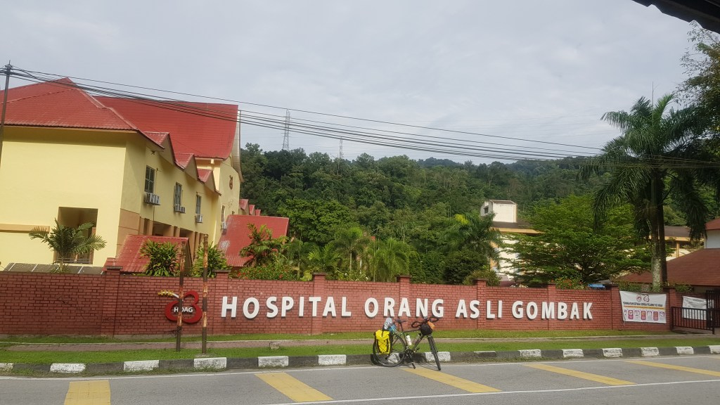
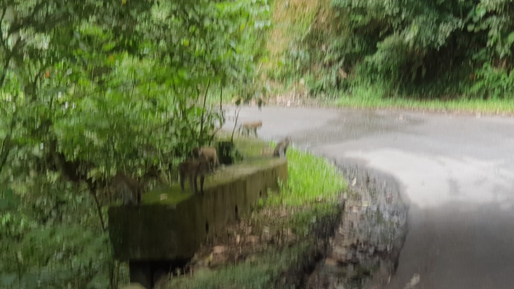
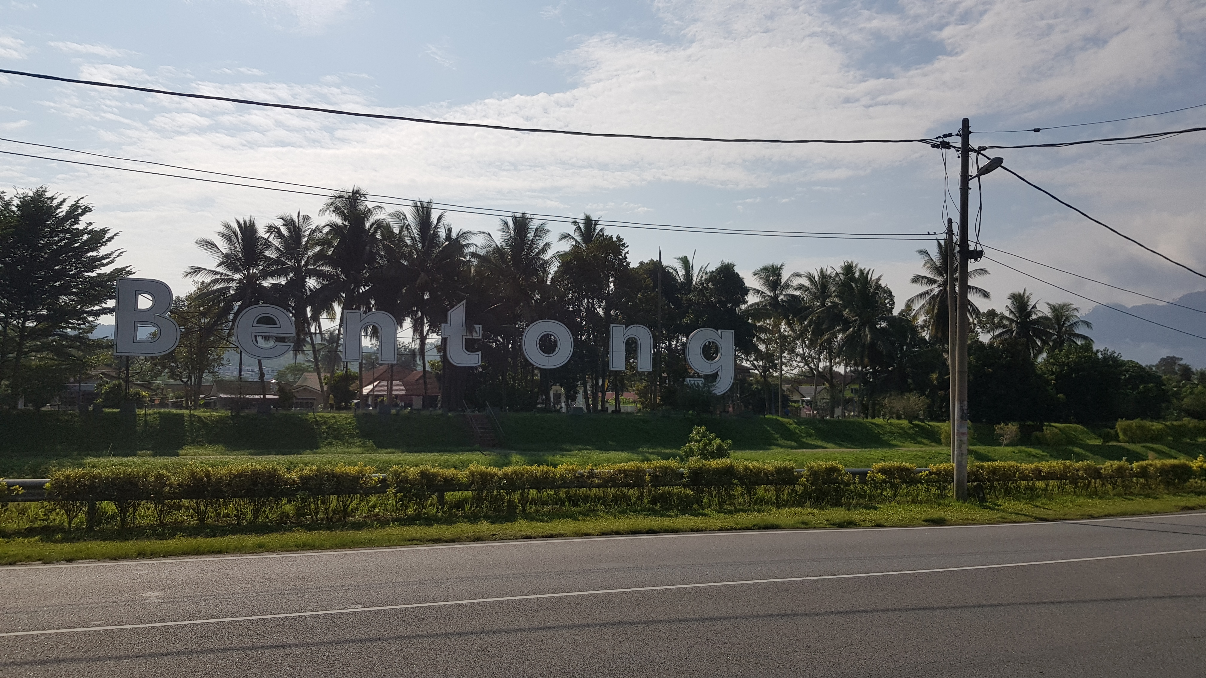
Set off from home heading to Jalan Sentul (Sentul Road), turned to Jalan Gombak (Gombak Road), led by the road, heading to the 1st destination, Bentong. Passed by a small aborigine village (Kampung Orang Asli), and entered into the big, about 10km long stretch monkey village. When passing by this monkey colony, it is safe to have stop and rest if you’re tired, but please never stop and EAT or show off with your FOOD, unless you want to declare war with the monkey. Please take note.
After the aborigine village, is the beginning of self-torture ride. A stretch of 16km uphill awaits you. Never think when you are cycling up to the hill, you are closer to heaven. Just like people used to said when they are in the plane, “I am 33000 feet nearer to God, hahaha…” No! It isn’t like that. It is way beyond….way beyond… what you’re thinking. When you’re paddling up to the hill with just your “2 stroke piston made of fresh”(Two legs) , and 2 heavy panniers hanging both sides on your bicycle, you’re actually paddling “up” to hell, both physically and mentally. But this is still good because, after the 16km dead man climb, a downhill roll all the way to Bukit Tinggi, then flat road from Bukit Tinggi will lead you until Bentong. After this, the worst was just to begin. After Bentong, all the way to Gua Musang,Kelantan, it was the beginning of pain. Endless of slopes. three quarters of the total distance of more than 200km, was slopes after slopes, each day at least more than 40km was wicked climb. Each time when I pushed myself up to what I think or hoping that this is the peak, but at the next turning, there is another slope…. and beyond that another…. and another…. I never understand why these slopes could run endless…. I think after this trip I will be very fit. I will be so fit that not only my ABS has six packs, even my shit too would have six packs, I guess even my urine would not be a line, it could be a fragmented “pack” shape….


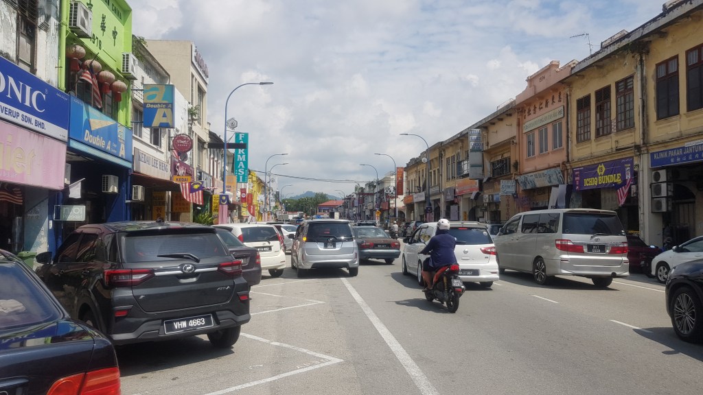
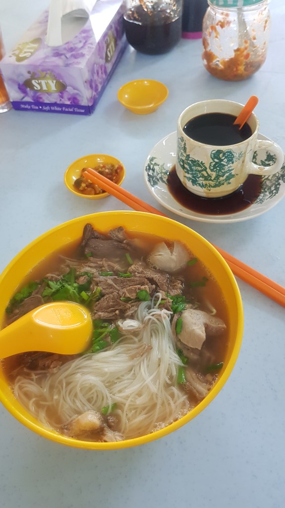
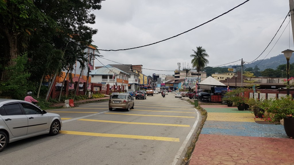
Woke up the next morning and rode to Bentong town for breakfast. Bentong is a small, lively Chinese town, cars and crowds everywhere, simply stopped at a shop for breakfast, and the food was good. Next destination is Raub.
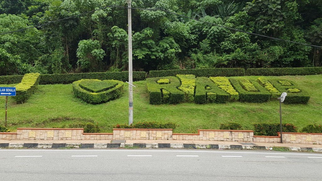
I packed my lunch after breakfast at Bentong, for in case if I don’t find any rest stop or any food stall (Truly there is none along the way),then rolled out to Raub. The route was deserted, the road was undulated with absolutely no shelter from trees or whatsoever, the wicked hills never ended, and no landscape too… until I finally staggered into Raub town with bug-eye, punctured lung and lost of heartbeat…


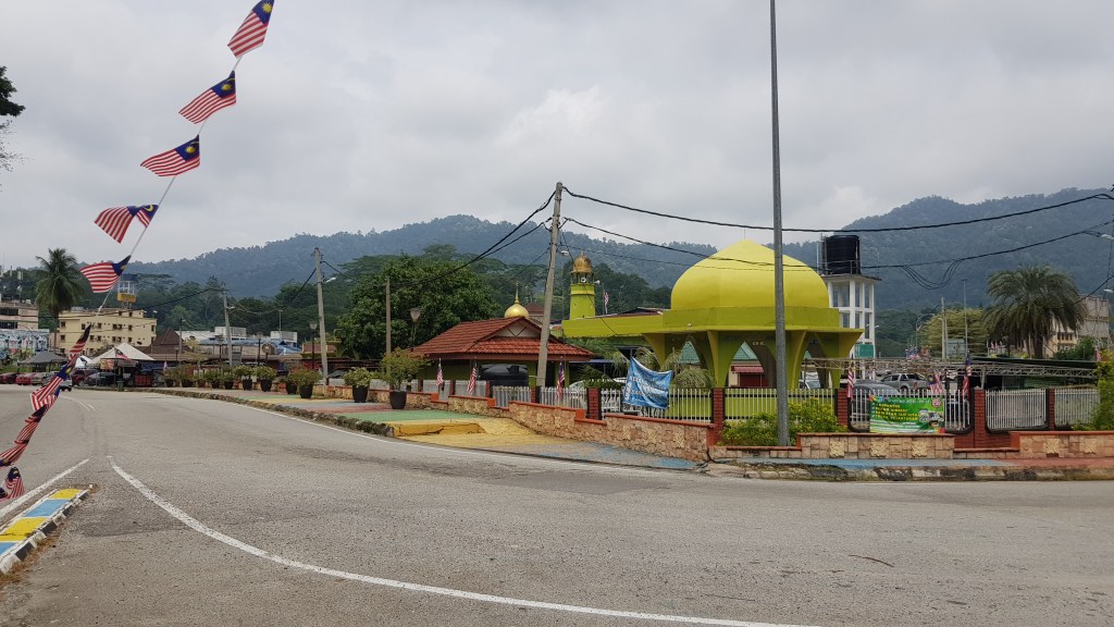
Unlike Bentong, Raub is a town that mixed with Chinese and Malays, but it is a harmonious town, there is Chinese food and malay food everywhere. you will even see mosque, Indian temple and Chinese temple laid in the same road.

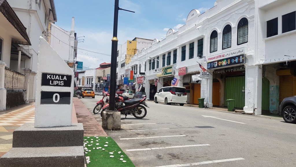
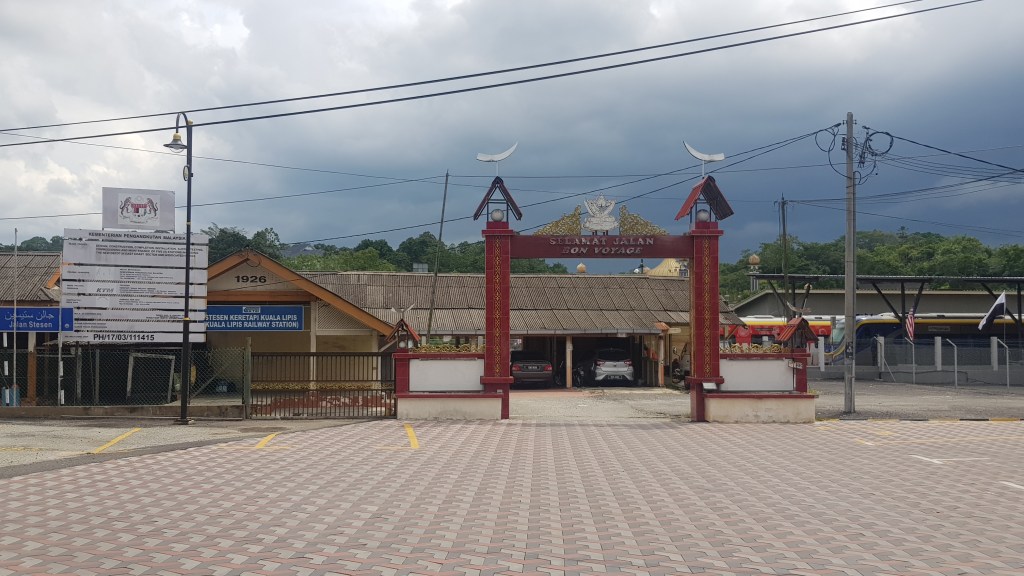
After Raub, is Kuala Lipis, then entered into Gua Musang, Kelantanu. It’s same route, endless slopes, no rest stop, no food, so there is nothing to talk about.
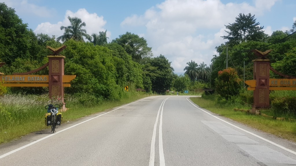
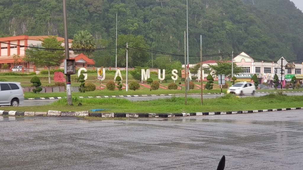
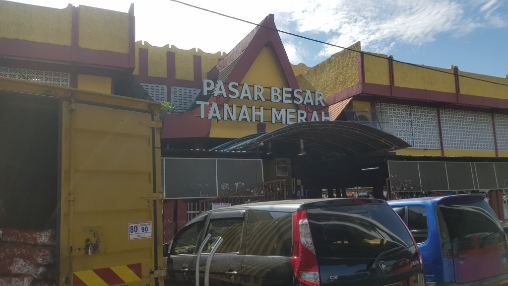
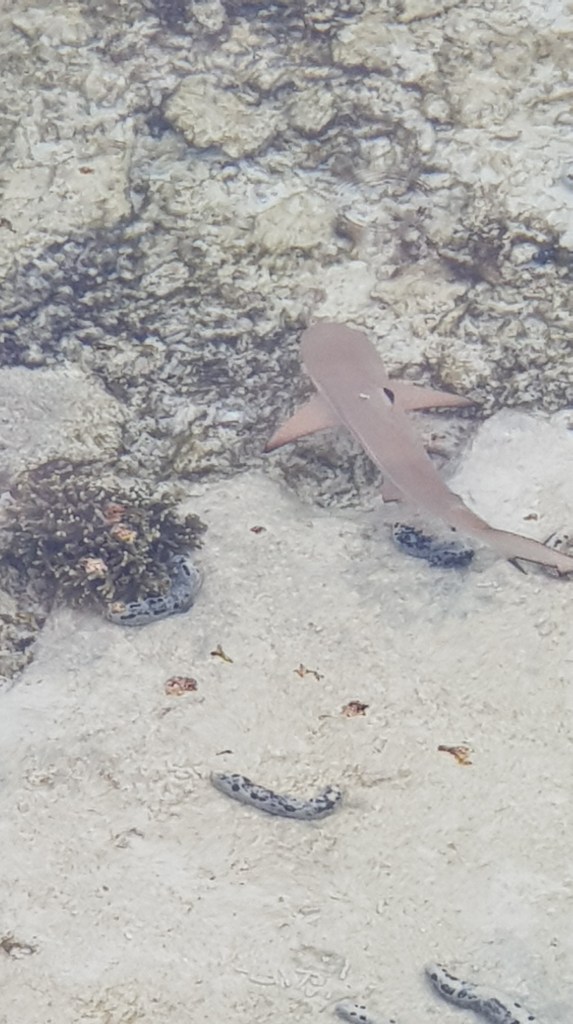
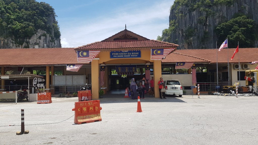
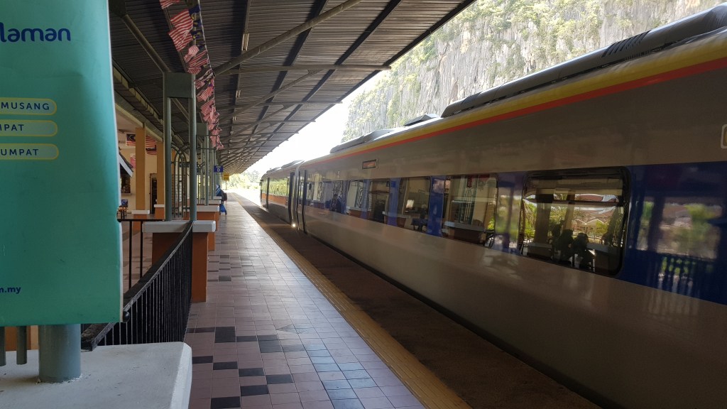
At Gua Musang, I decided to reward myself an island trip, discovered Lang Tengah Island from YouTube. Yes! I guess this is a good pick. The nearest pier is 203km away, have to pass through a 150km rainforest and Lake Kenyir. As advised by the locals, the route is too dangerous to cycle cause it is totally isolated, no cellphone signal available and totally not suitable for camping. Not only no rest point, it is hopeless to find food and drinking water supply. More than that, I could encountered unknown dangerous animals, as their advised, I took a train from Gua Musang to Tanah Merah.
Ticket from Gua Musang to Tanah Merah, Rm6.00 per person, Rm25.00 for bicycle. Must packed nicely and they will arrange to send by a logistic company, not by train.
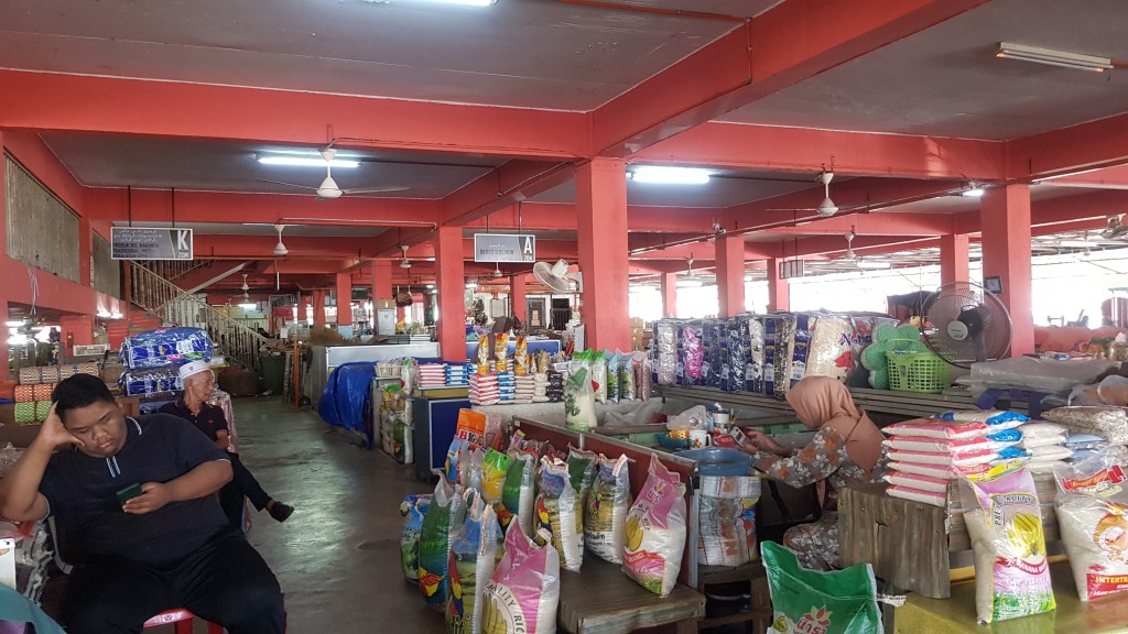
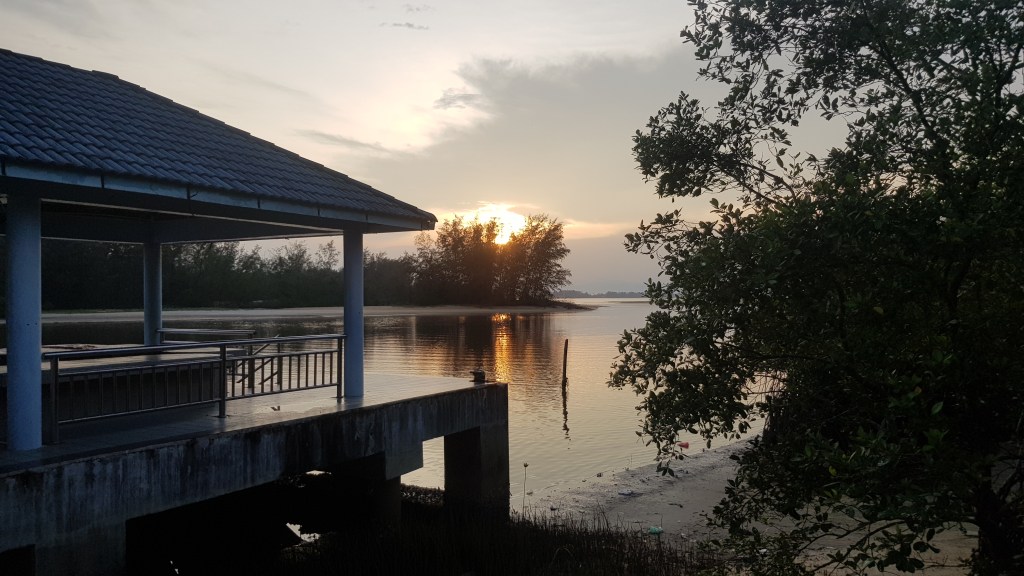
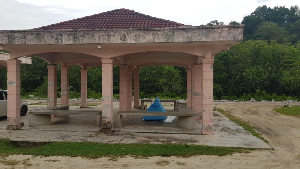
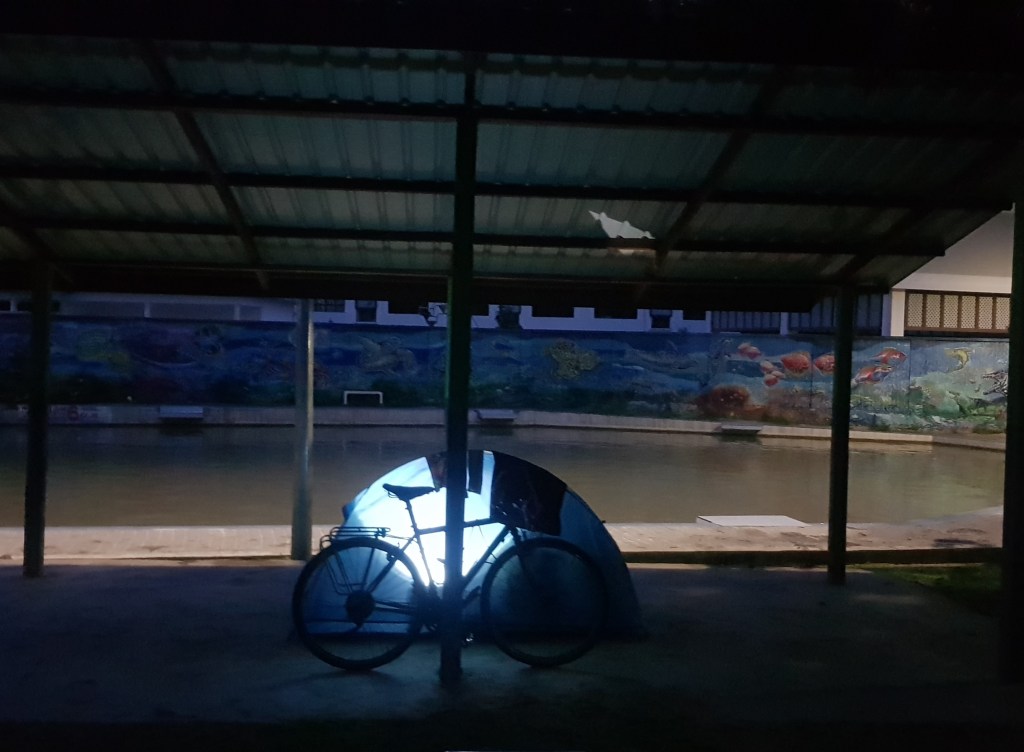
Distance from Tanah Merah to Merang Jetty about 150km, flat terrain all the way. Reached Tanah Merah Railway station at 10.35am, after breakfast, walked 3km to the logistic company to collect my bike. Unpacked and fixed my bike in their warehouse, after 1.00pm, started rolling. Followed the costal road, nice ocean scenery and flat terrain, reached the jetty before 5.00pm. Set up my tent at the jetty, cooked dinner, wait for the ferry next day.